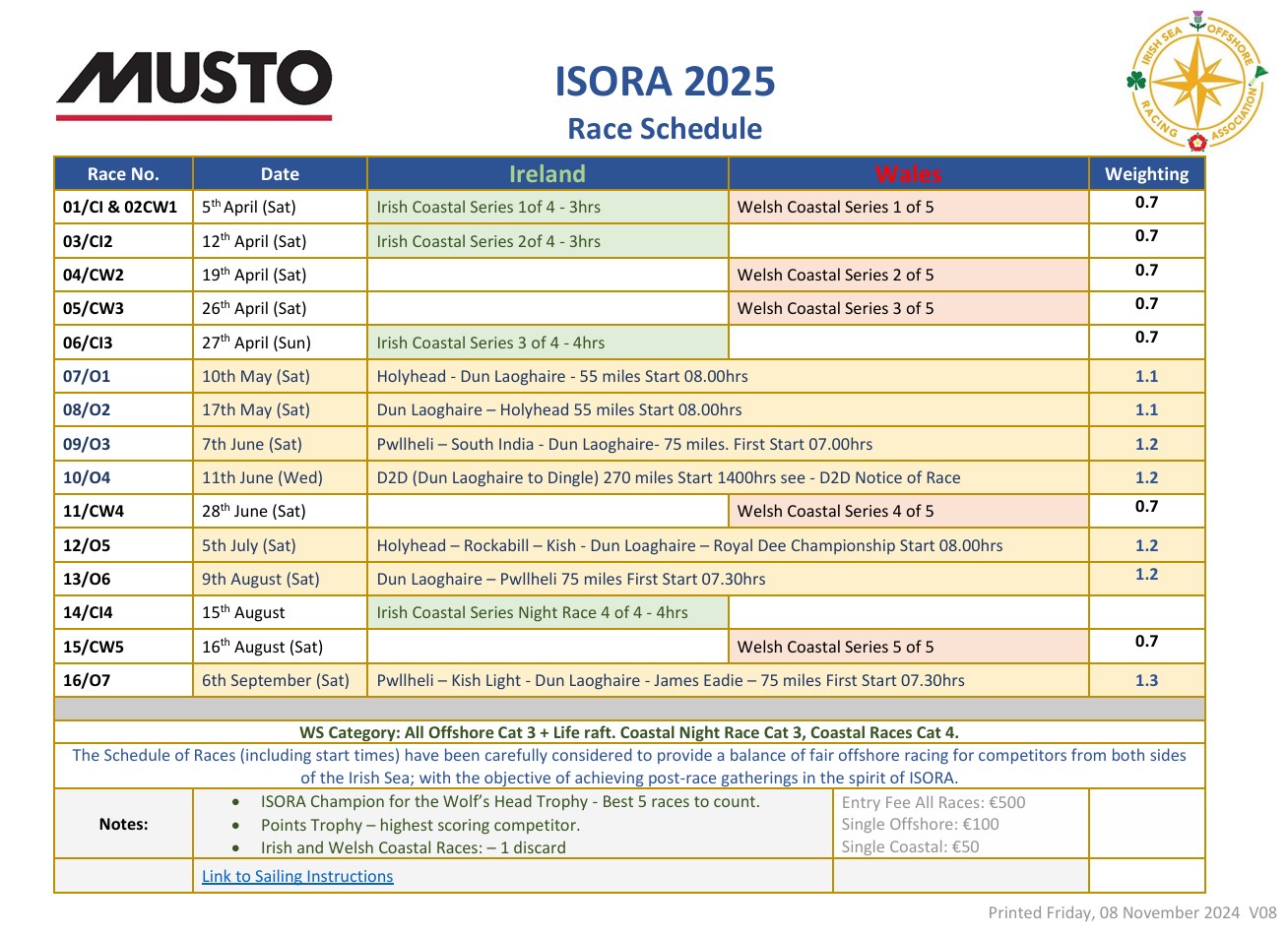
 The course is as advised:
Start
Holyhead TSS (P)
M2 (S)
Rockabill (P)
Kish light (S)
South Burford (S)
Finish between pier heads Dun Laoghaire.
These are the cords of the TSS area. It will be accurately monitored by the trackers for infringements.
Holyhead TSS coordinates:
 53.35018502 -4.801383783
53.40963912 -4.935797942
53.56834437 -4.743989492
53.58515531 -4.539511354
53.48525717 -4.517610504
53.47485134 -4.649696597
We understand that M2 is at position
53.4836 -5.4309
If buoy is not in that approx. position treat the above position as a virtual waypoint.


